
What does it mean to “illustrate history”? How do maps – and other kinds of cartographic representations – translate the complex and changing features of the natural world, physical space, and human landscapes into legible, two-dimensional form?
Maps are wonderful artifacts. They note, in careful detail, the particulars of place – whether known or imagined – while simultaneously, they embody the wider eras of their creation: quests for “discovery” and claim; Indigenous knowledge and action; projects of extraction, settlement, and colonialization; state building and territorial definition.
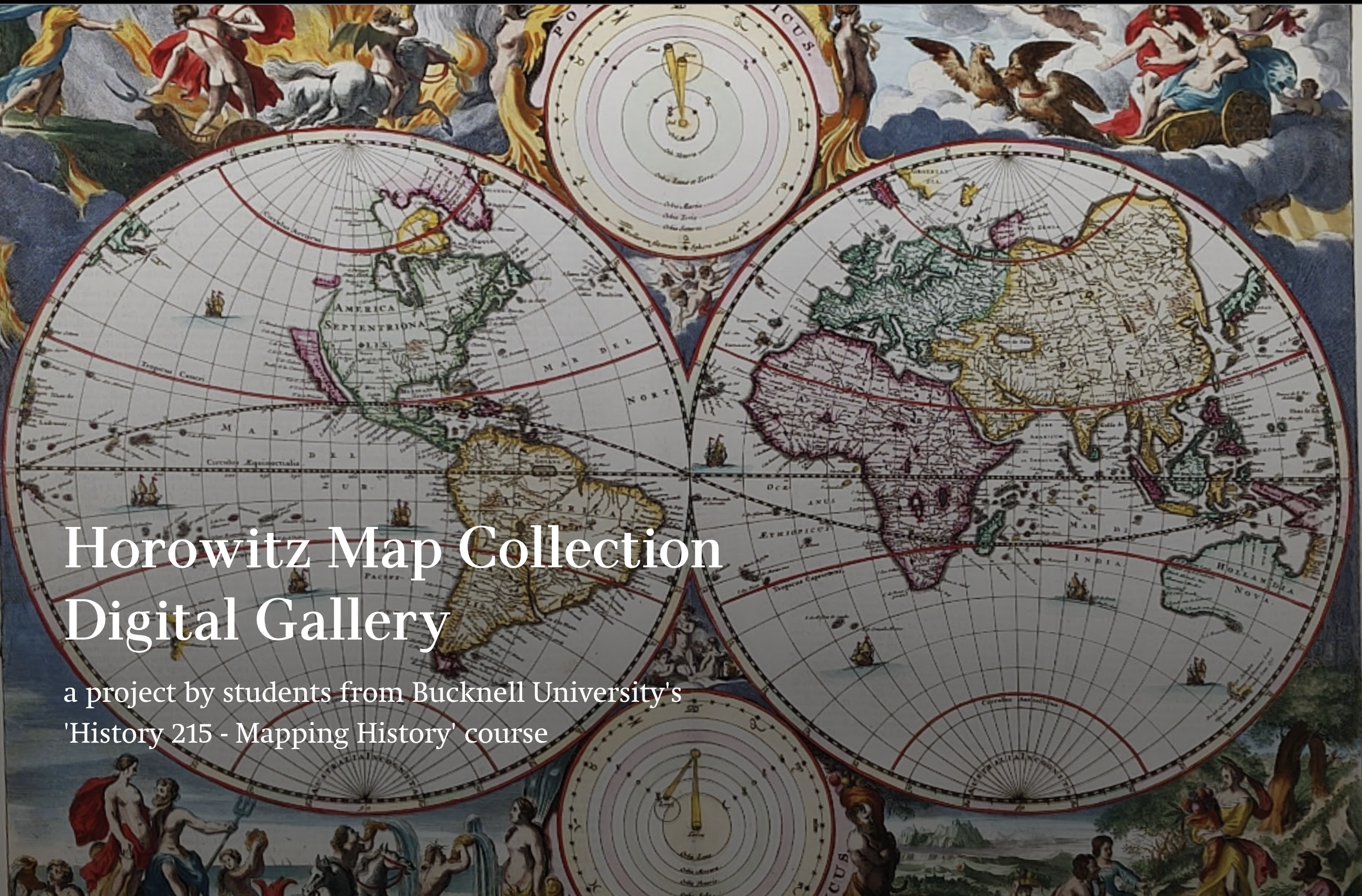
This storymap serves as a digital gallery for showcasing a collection of rare, historical maps donated to Bucknell University by class of 1962 alum Steven Horowitz for use in history and geography classes. Preliminary work on the digital gallery was done by Ryan Bremer (History/Film & Media Studies) and was taken up by the students in Fall of 2022 and completed by students in Fall of 2025 as part of Professor Claire Campbell's (History) the course Mapping History: Nature, Place, and Power.