
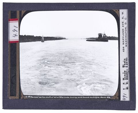
Sea level section south of Miraflores locks
Looking north towards south Dyke. March, 1913.
Handy (Photographer), Hallen (Photographer), Special Collections/University Archives (Publisher)
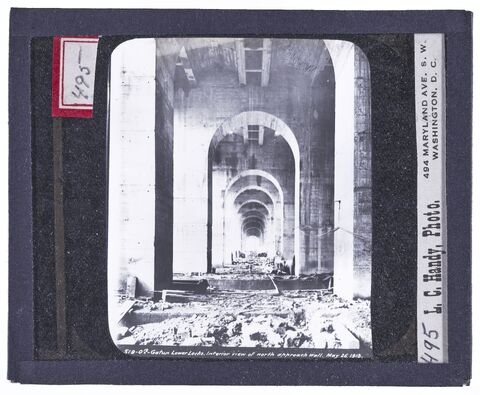
Gatun Lower Locks
Interior view of north approach wall. May 26, 1913.
Handy (Photographer), Hallen (Photographer), Special Collections/University Archives (Publisher)
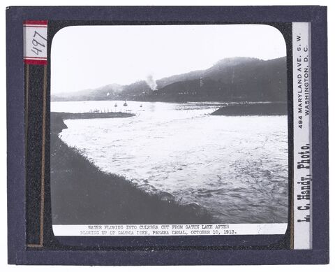
Water flowing into Culebra Cut from Gatun Lake
After blowing up of Gamboa Dike, Panamal Canal, October 10,1913.
Handy (Photographer), Hallen (Photographer), Special Collections/University Archives (Publisher)
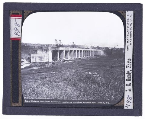
Gatun Lower Locks
North Entrance, showing completed approach wall. June 14, 1913
Handy (Photographer), Hallen (Photographer), Special Collections/University Archives (Publisher)
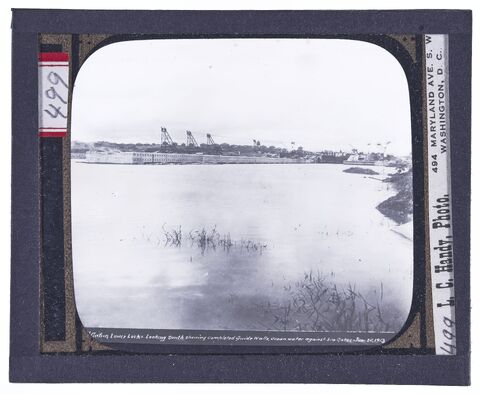
Gatun Lower Locks
Looking south showing completed guide walls, ocean water against south gates, June 20, 1913.
Handy (Photographer), Hallen (Photographer), Special Collections/University Archives (Publisher)
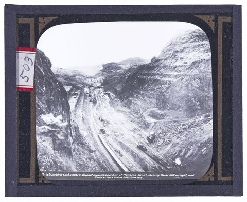
Culebra Cut, Culebra
Deepest portion of Panama Canal, showing Gold Hill on the right and Contractor's Hill on the left, June 1913
Handy (Photographer), Hallen (Photographer), Special Collections/University Archives (Publisher)
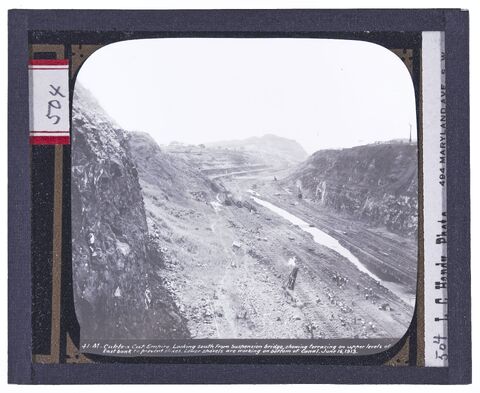
Culebra Cut, Empire
Looking south from Suspension Bridge, showing terracing on upper levels of East Bank to prevent slides. Lower shovels are working on bottom of
Handy (Photographer), Hallen (Photographer), Special Collections/University Archives (Publisher)
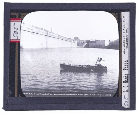
Pedro Miguel Locks
South entrance to East Chamber. Loewer middle approach wall on left. June 9, 1913.
Handy (Photographer), Hallen (Photographer), Special Collections/University Archives (Publisher)
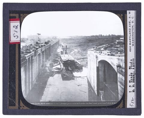
Gatun Lower Locks
North approach wall. Dredge grounded 55' below sea level, looking northwest, June 14, 1913
Handy (Photographer), Hallen (Photographer), Special Collections/University Archives (Publisher)
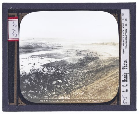
Gatun Dam
General view of from West Hill. May 26, 1913.
Handy (Photographer), Hallen (Photographer), Special Collections/University Archives (Publisher)